230898
Map
In basket
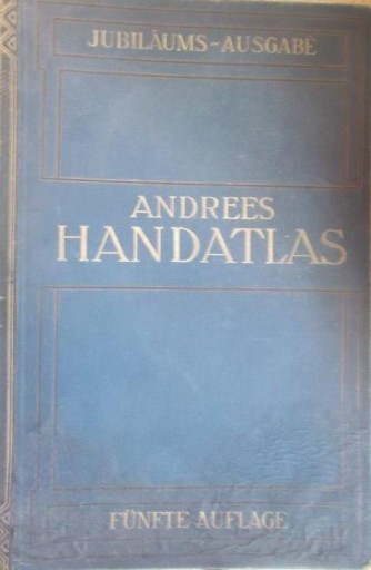
Andrees Allgemeiner Handatlas : in 139 Haupt- und 161 Nebenkarten : nebst vollständigem alphabetischen Namenverzeichins / herausgegeben von A. Scobel. - 5. völlig neubearbeitete und vermehrte Auflage, Jubiläumsausgabe, 4. revidierter Abdruck. - Bielefeld ; Leipzig : Verlag von Velhagen & Klasing, 1910. - 1 atlas ([4] strony, 207 kart, 188 stron) : mapy wielobarwne ; 45 cm.
Availability:
BG Czytelnia
O dostępność zapytaj w placówce: sygn. Czyt. 9 I (1 egz.)
Notes:
Tyt. okł.: Andrees Handatlas
General note
Rzeźba terenu: barwy batymetryczne, kreskowanie, punkty wysokości.
Bibliography, etc. note
Indeks nazw.
Reviews:
The item has been added to the basket. If you don't know what the basket is for, click here for details.
Do not show it again